Introduction
Consultation is an integral part of the process of applying for development consent under the Planning Act 2008 and we are committed to engaging with stakeholders such as prescribed consultees (being all applicable consultees listed by the Planning Inspectorate under Regulation 11(1)(c) of the Infrastructure Planning (Environmental Impact Assessment) Regulations 2017 (“the EIA Regulations”)), statutory consultees (under sections 42(aa), (b) and (d) of the 2008 Act including landowners and persons with an interest in land) and members of the public at all stages of the Project’s development.
Non Statutory Consultation (OCS) Document Library
Cras sit amet felis vitae ipsum sagittis cursus. Nam in aliquet erat. Nullam imperdiet, magna fermentum auctor congue, est magna rhoncus magna, eget commodo dui turpis sodales mauris. In hac habitasse platea dictumst.
- Appendix 20.5 Construction Road Vehicle Exhaust EmissionsView/Download
- A3 Plans View/Download
- Community Leaflet View/Download
- Notification Poster View/Download
- Media Advert View/Download
- Feedback Form PDF View/Download
- Exhibition Banners View/Download
- Webinar Presentation View/Download
Feedback Form
Lorem ipsum odor amet, consectetuer adipiscing elit. Metus auctor nullam tincidunt purus nullam justo justo lobortis vestibulum. Orci sagittis eget iaculis mus quisque nulla. Habitasse varius purus dignissim mauris ante venenatis.
Views
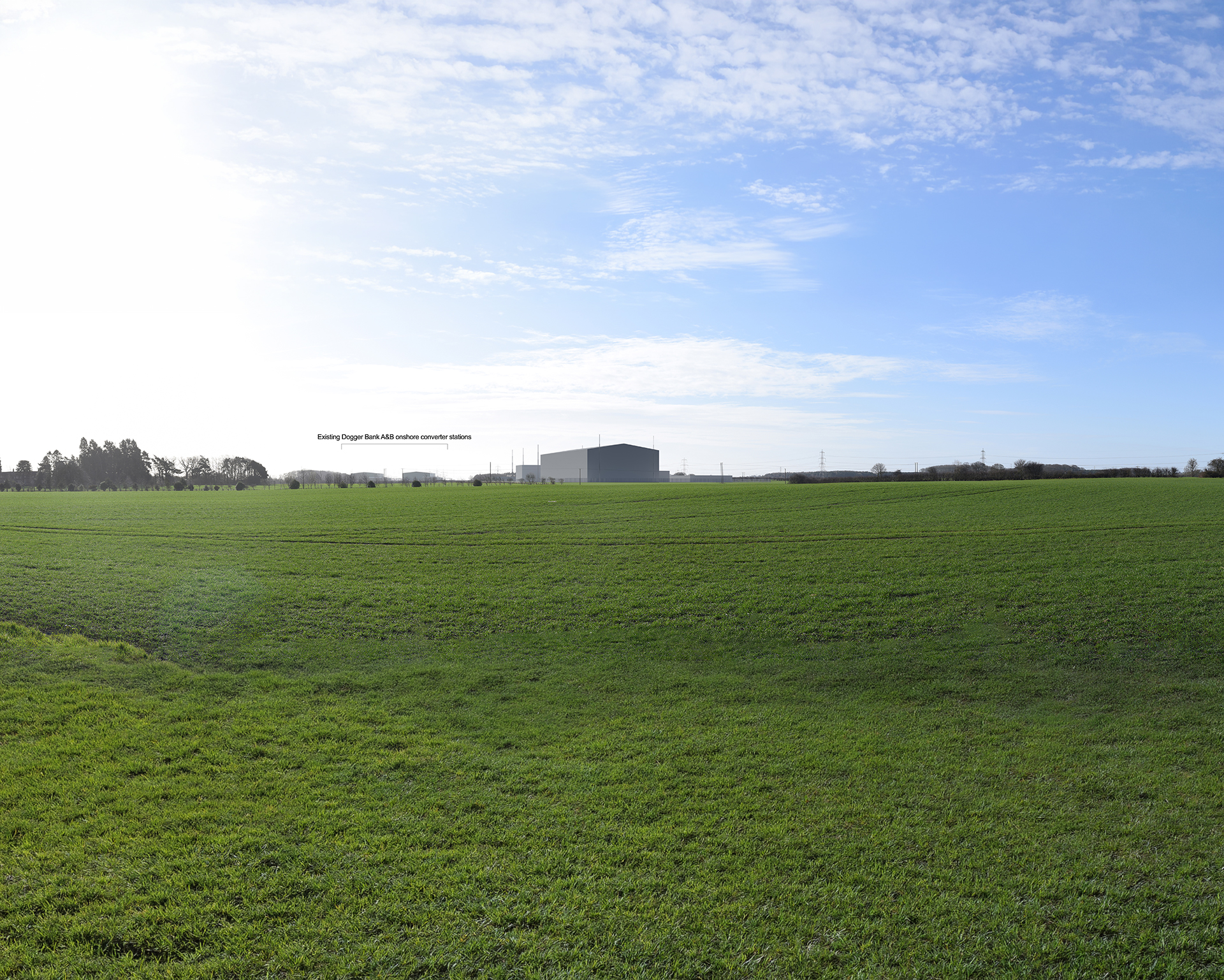
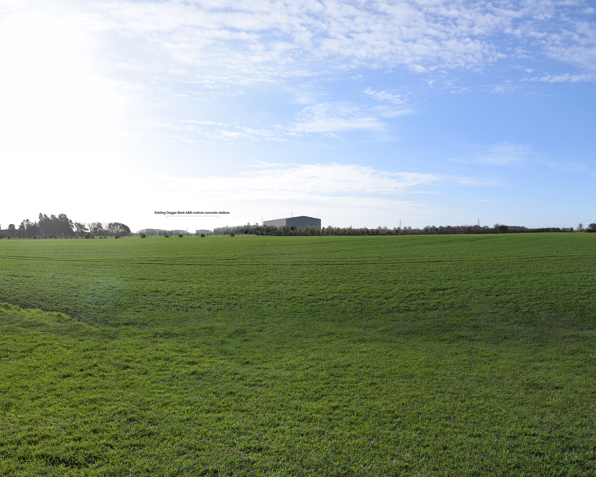
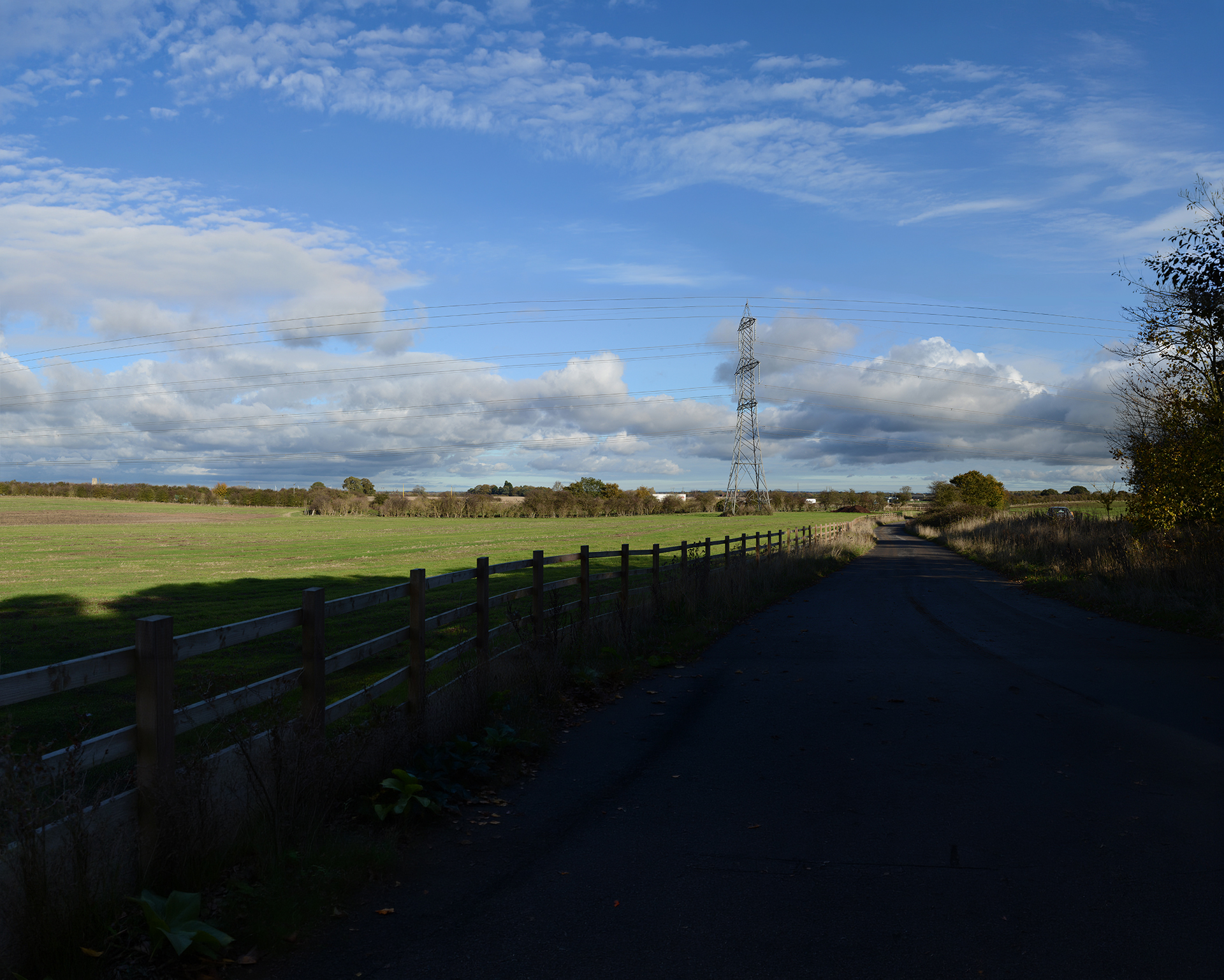
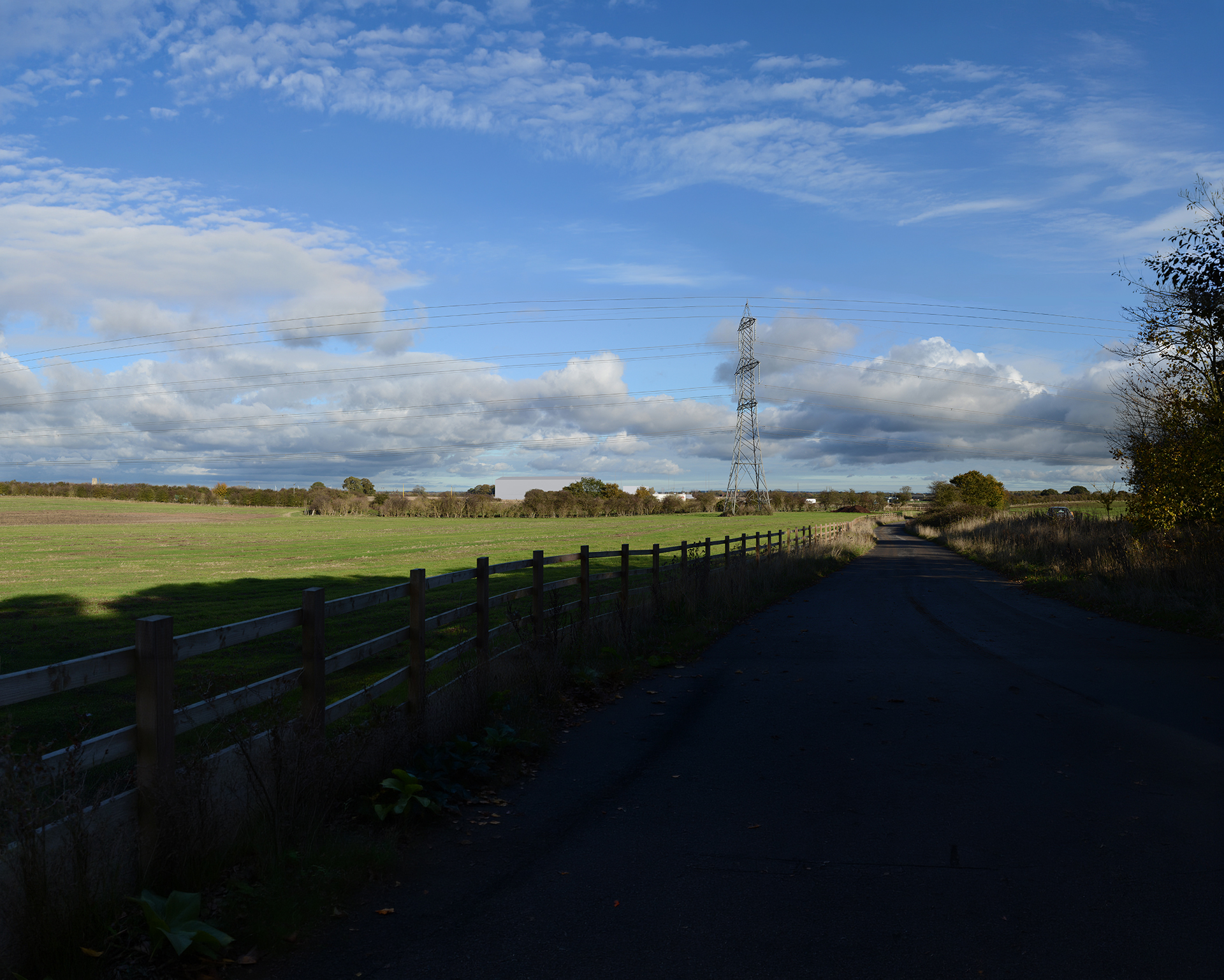
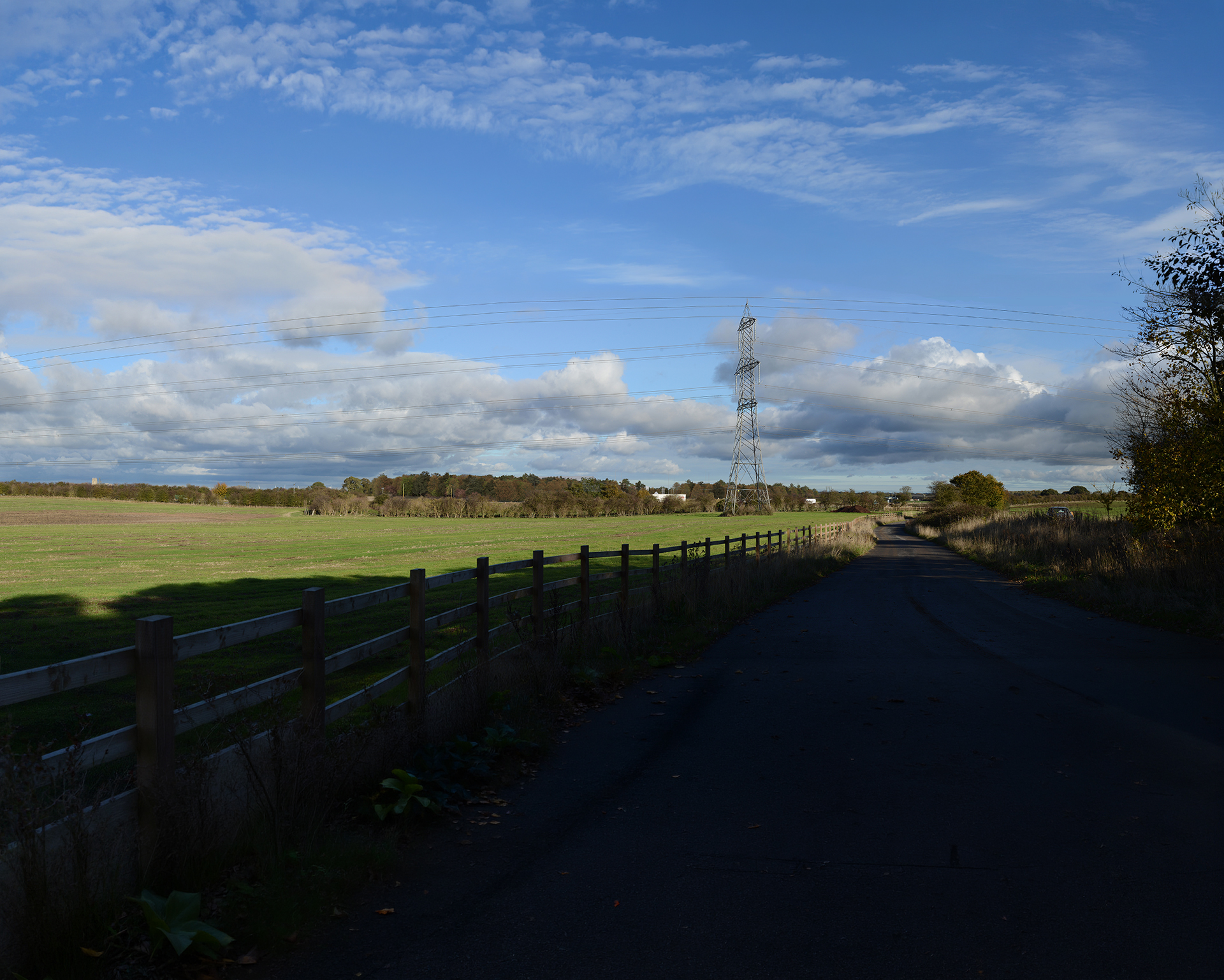
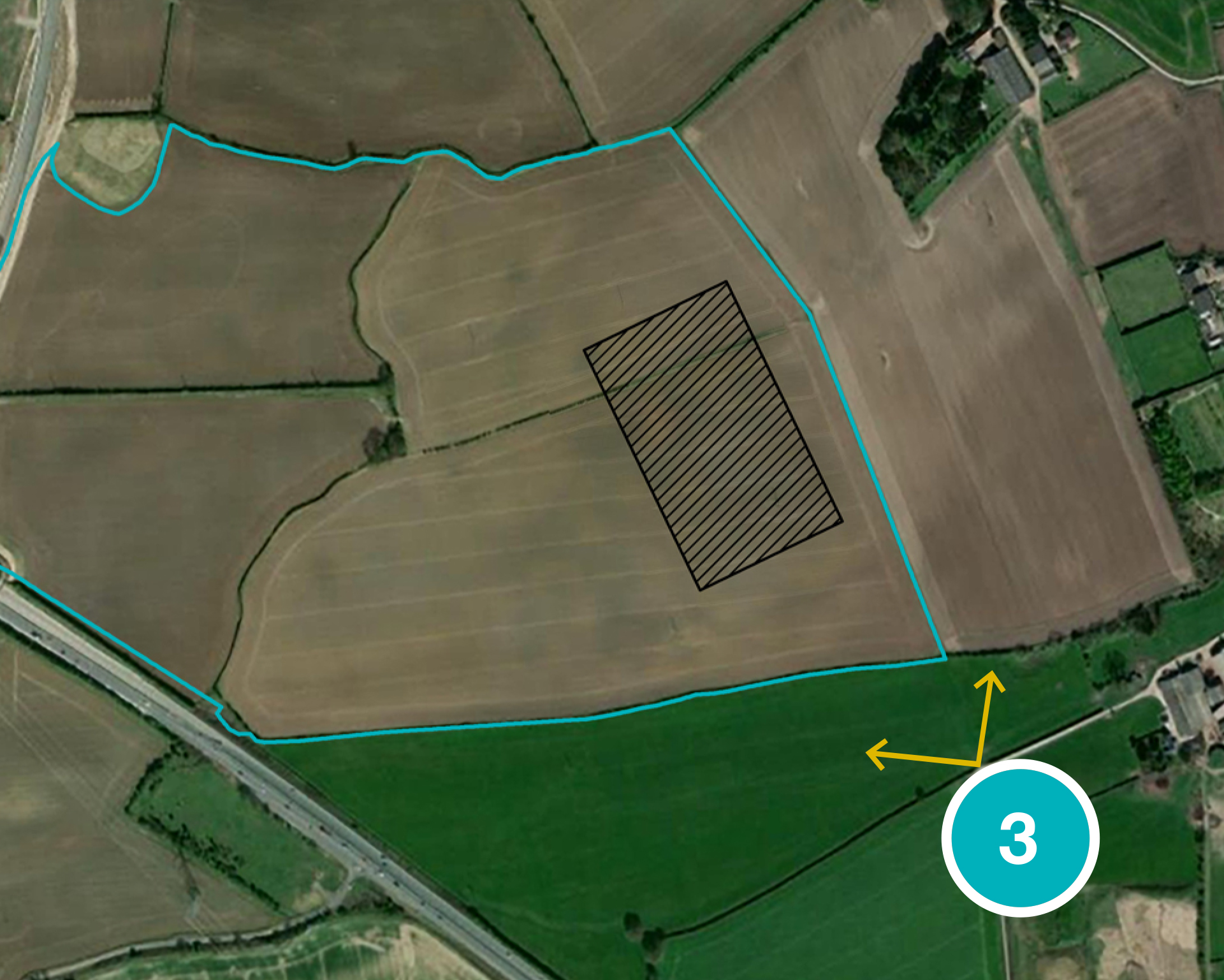
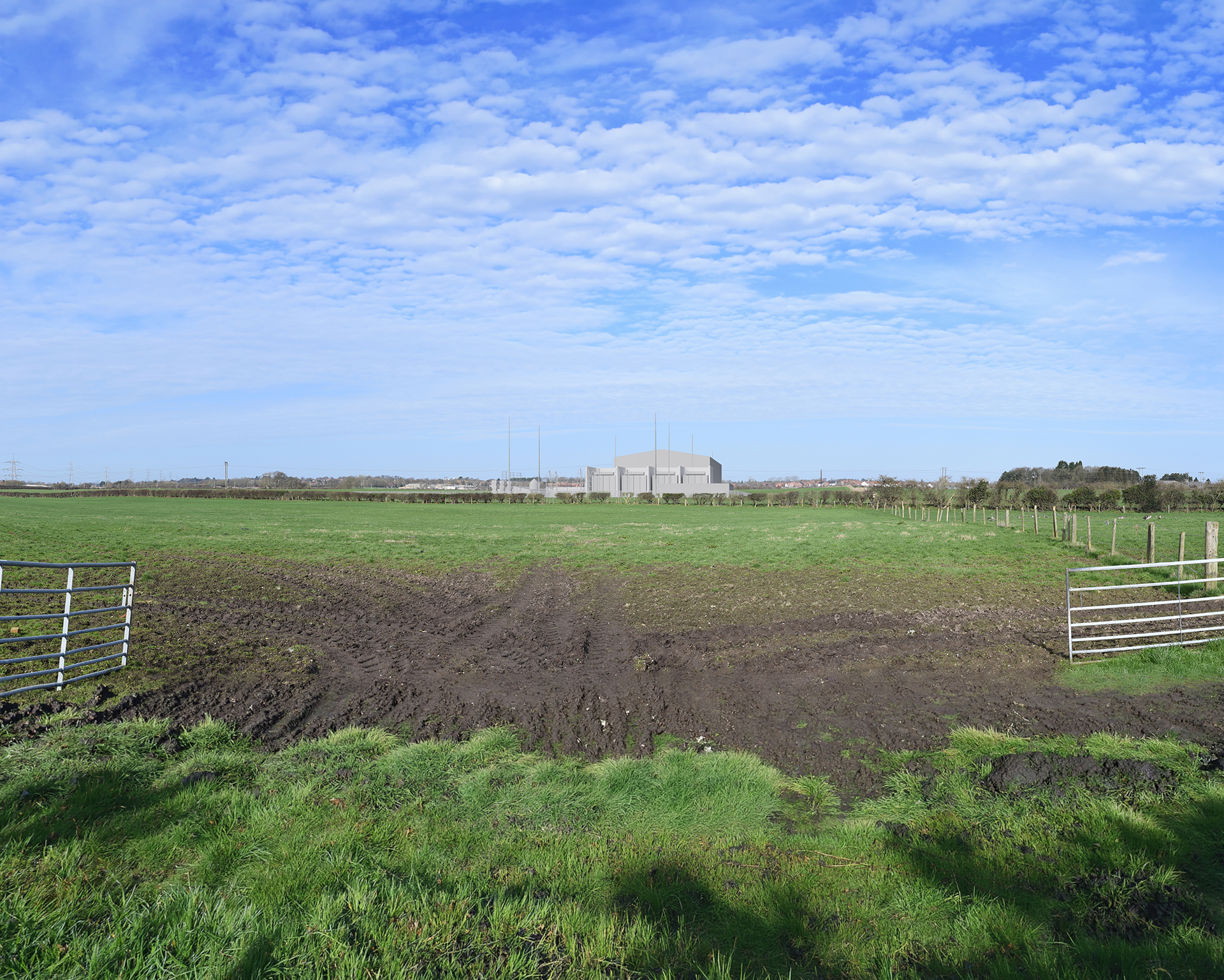
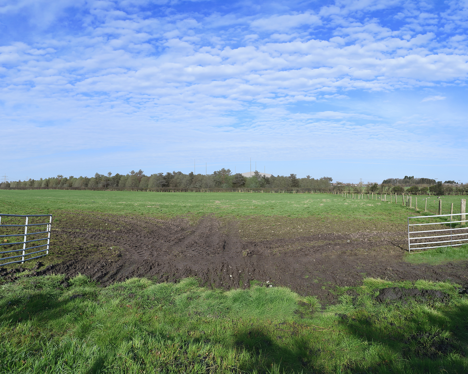
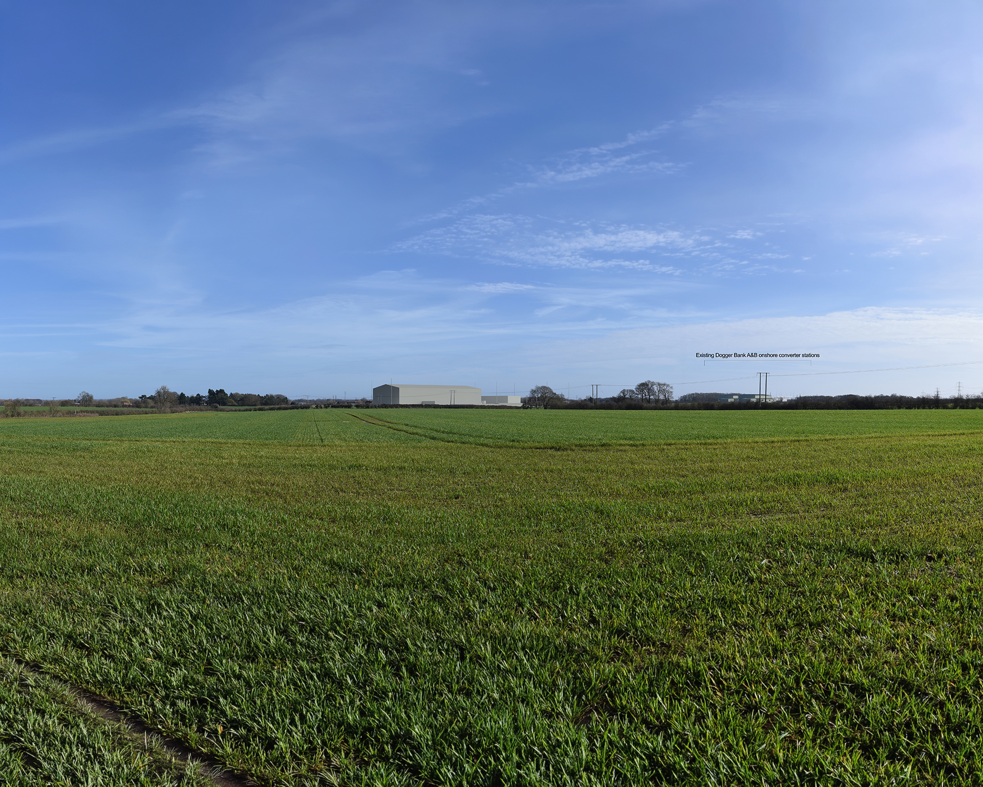
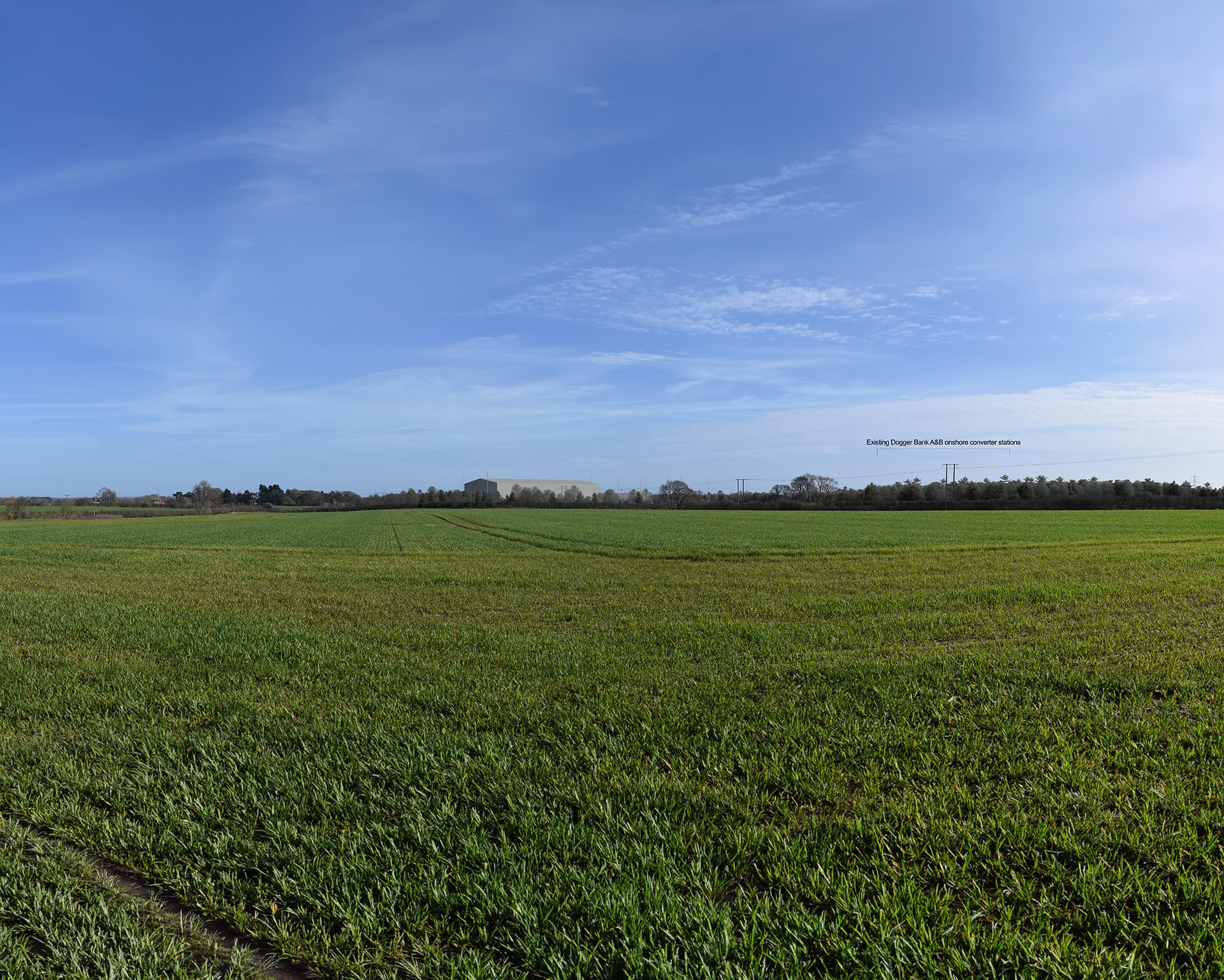
These visualisations show what the proposed Onshore Converter Station (OCS) could look like within the surrounding landscape. They are based on an indicative model that illustrates the location of the OCS platform, as well as the form of the valve hall and other components within the site.
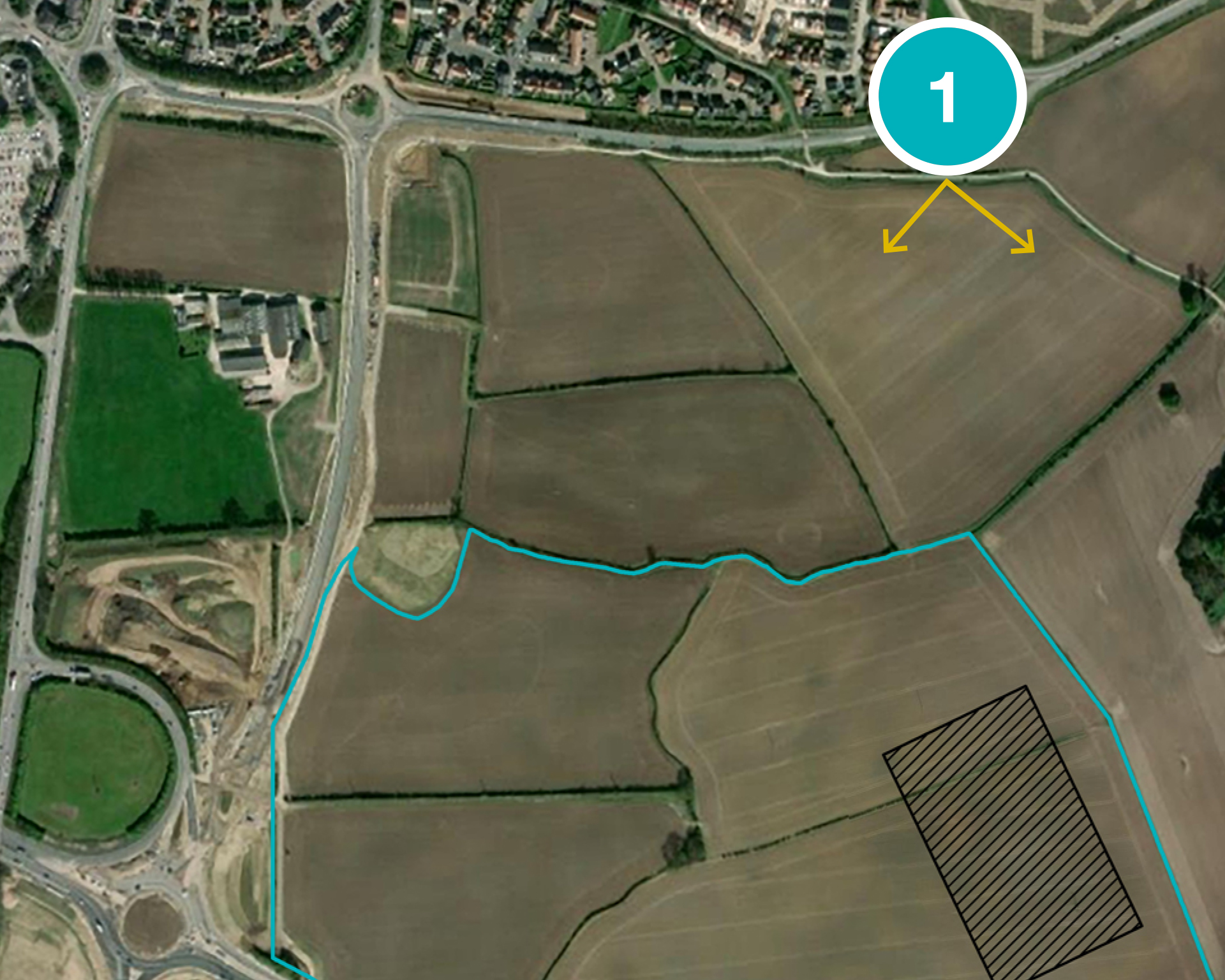
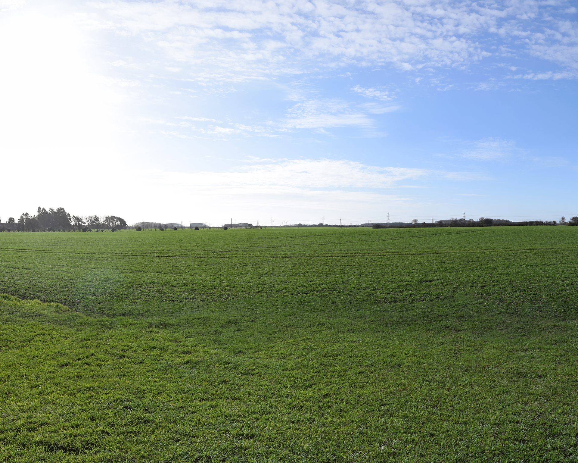
VP 1: Shepherd Lane - Shepherd Lane is located near the southern edge of Beverley. Views from this viewpoint look across agricultural fields separated by hedgerows and woodland belts in the middle distance. The existing Dogger Bank A & B onshore converter stations are visible to the south-east. At Year 0, views of the OCS would be open, with existing hedgerows providing minimal screening. By Year 15, mitigation planting to the north of the OCS would partially screen the lower extents of the OCS. The upper extents would be visible above the tree line. The proposed mitigation planting would contribute to the pattern of woodland belts in the surrounding fields.
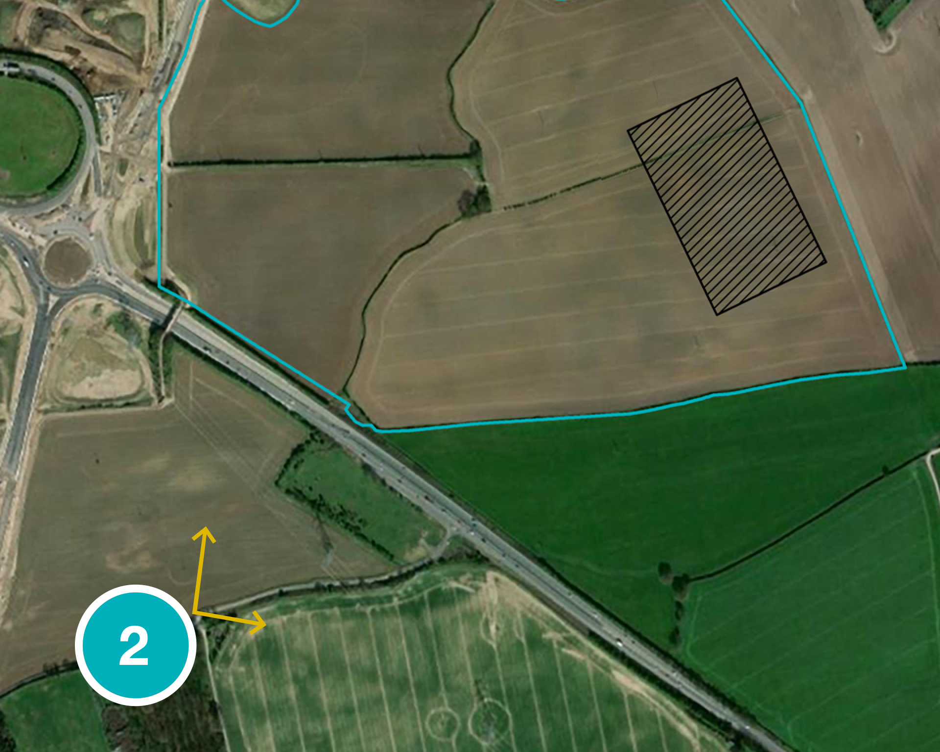
VP 2: Beverley 20 - Views from the Beverley 20 looks across a field with roadside vegetation screening views of the A1079 in the middle-distance. At Year 0, existing roadside vegetation would partially screen views of the OCS. By Year 15, the proposed mitigation planting would almost entirely screen the OCS.
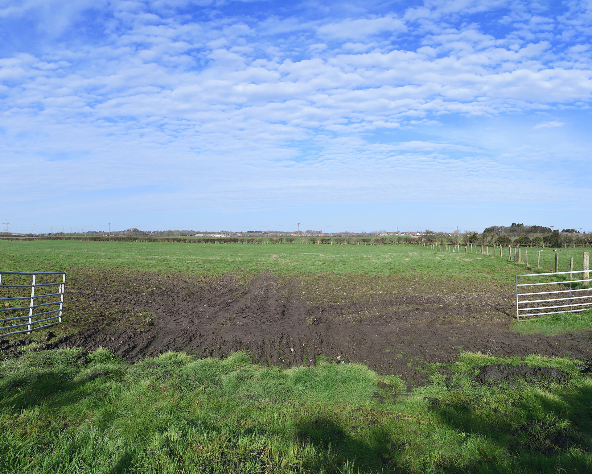
VP 3: Beverley Parks - This viewpoint is located on the footpath near Model Farm. Views from Beverly Parks look across fields divided by post and wire fencing and hedgerows towards Bramble Hill Farm and the Deira Park housing development. At Year 0, the OCS would be visible in the middle distance. The existing hedgerow provides minimal screening. By Year 15, the proposed mitigation planting would screen views of the lower elements of the OCS. The upper extents of the OCS, including the lightning protection masts would be visible above the tree line.
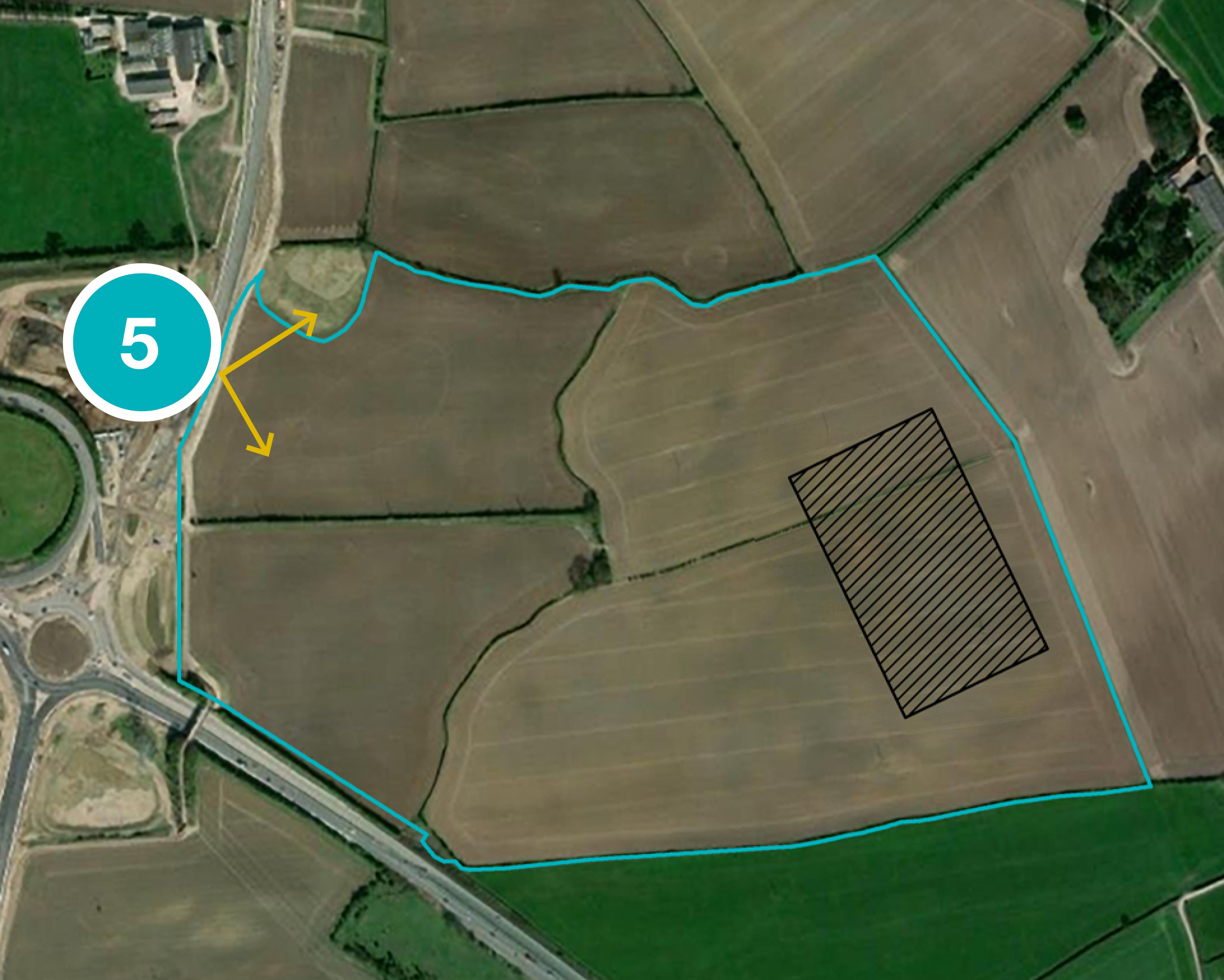
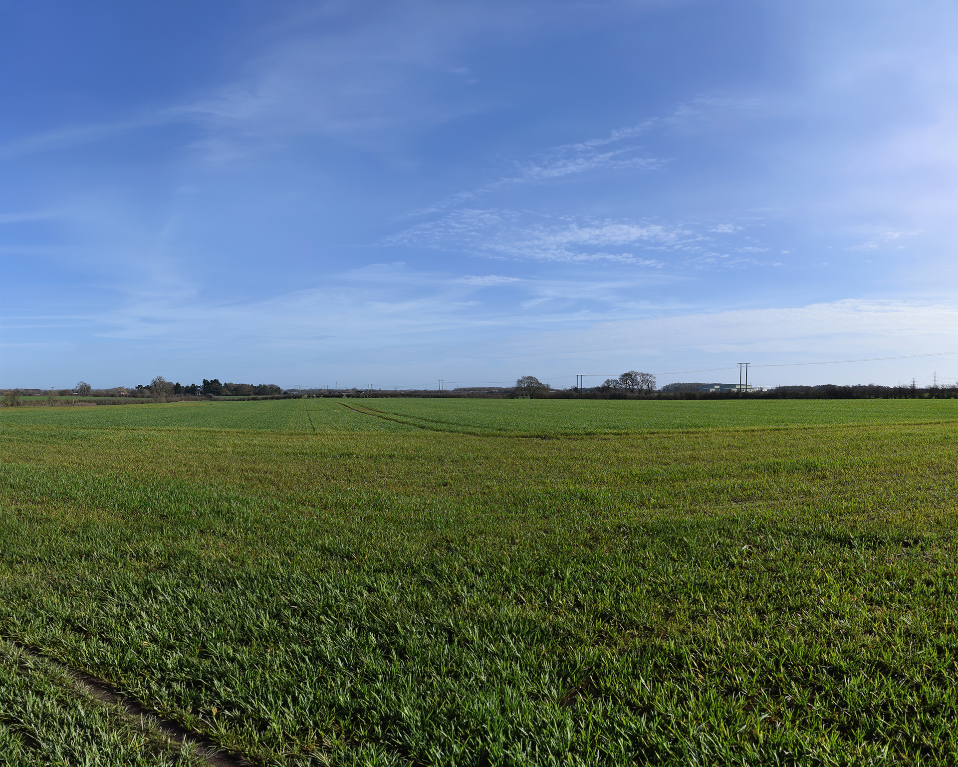
VP5: Footpath along A164 - This viewpoint is located on the new footpath next to the new stretch of A164 associated with the Jock’s Lodge works. Views east from the footpath extend across fields, with hedgerows and woodland belts visible in the distance. The existing Dogger Bank A & B onshore converter stations are visible to the south-east. At Year 0, the OCS would be visible in the middle distance. It would be seen in the context of the existing Dogger Bank A & B onshore converter stations, and would be afforded minimal screening by existing landscape features. By Year 15, the proposed mitigation planting would screen much of the lower extents of the OCS. In addition, the mitigation planting would screen views of the Dogger Bank A & B onshore converter stations. Once matured, the mitigation planting would contribute to the existing pattern of woodland belts.
The visualisation are intended to be indicative and may change as the proposals are refined. PDF versions of the visualisations for each viewpoint are available to download from the document library.