Introduction
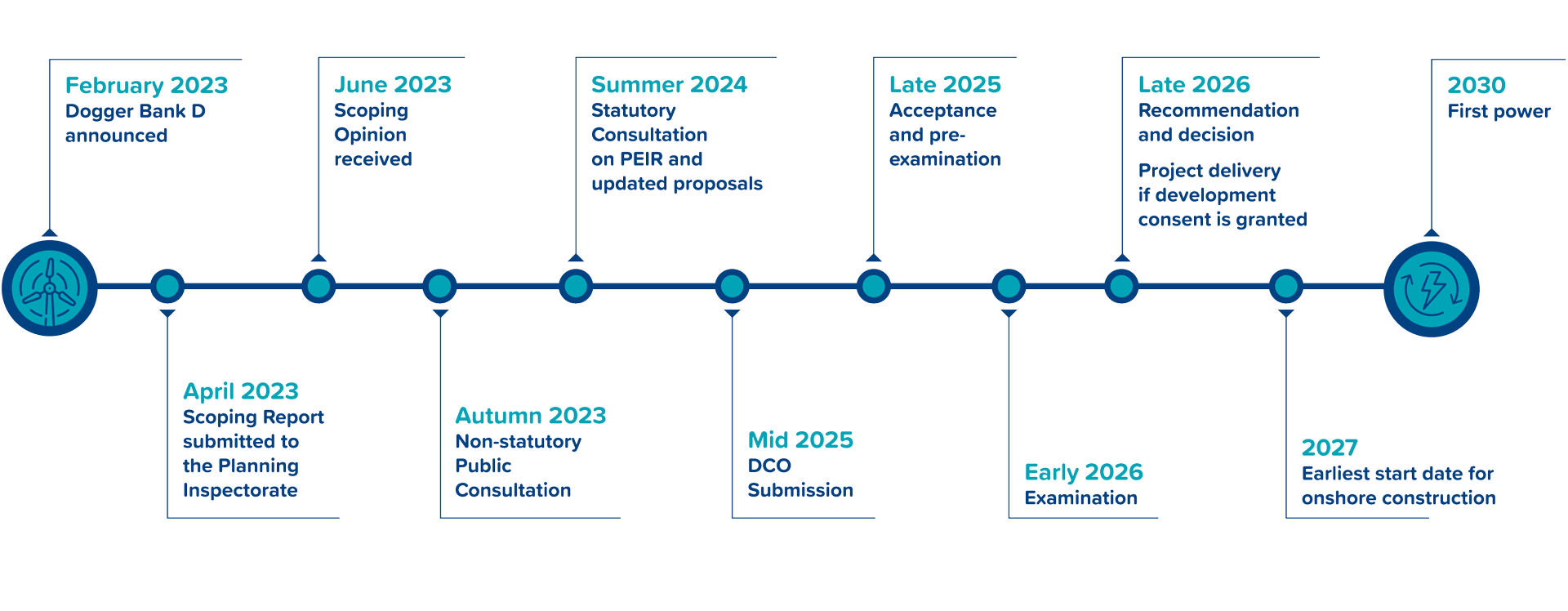
In April 2023, the Project prepared a Scoping Report and received a Scoping Opinion adopted by the Planning Inspectorate on behalf of the Secretary of State for Energy Security and Net Zero in June 2023.
As Dogger Bank D is recognised as a strategic national asset for energy with an expected generating capacity greater than 100MW, it qualifies as a Nationally Significant Infrastructure Project (NSIP). We will follow the procedures set out in the Planning Act 2008 which provides the framework for how NSIPs are developed. We will apply to the Planning Inspectorate, an agency responsible for managing the NSIP planning process on behalf of the Secretary of State for Energy Security and Net Zero, for permission to build and operate Dogger Bank D.
Sustainability
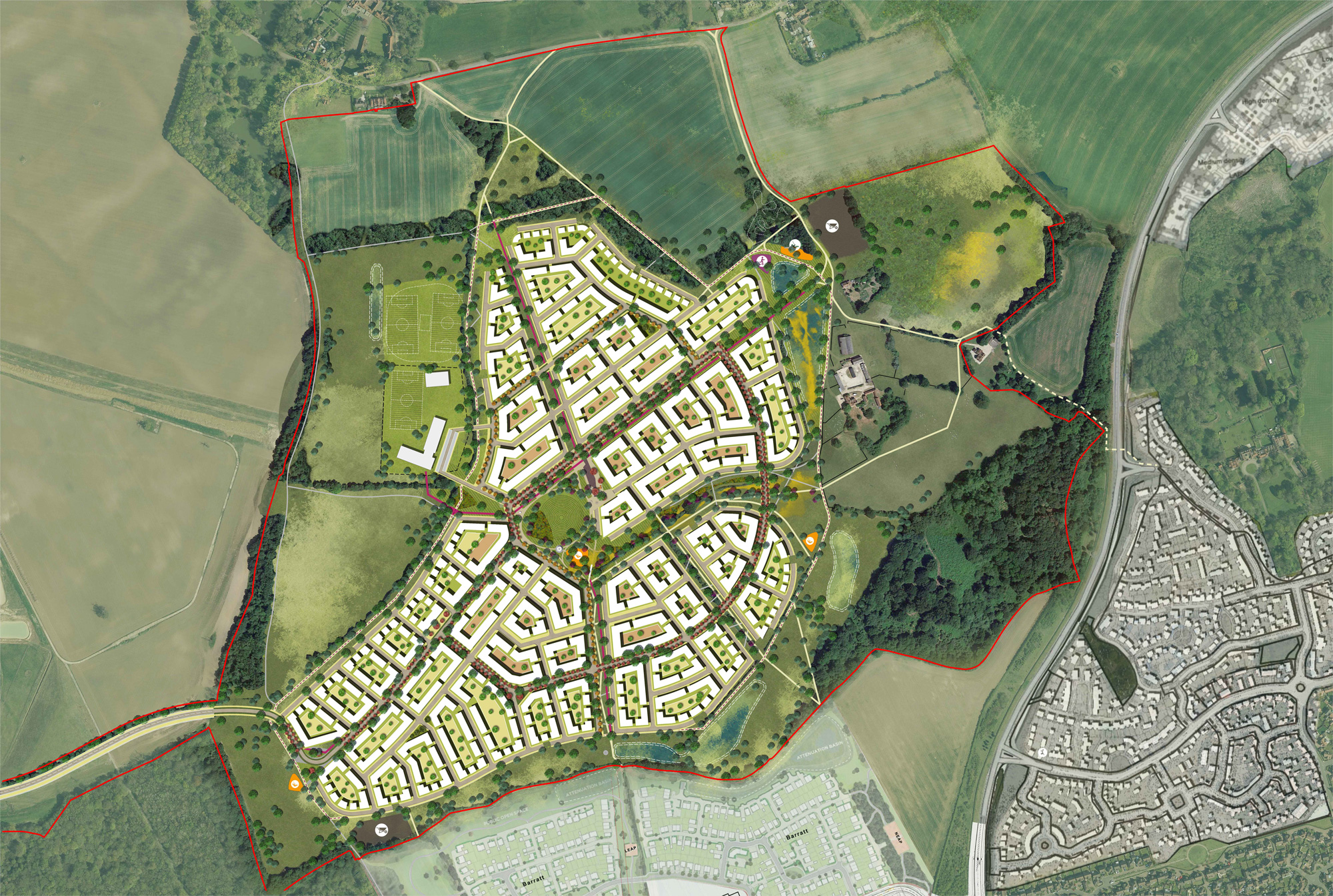
The plans also seek to deliver a measurable biodiversity net gain which means there would be an increase in the range and diversity of wildlife habitats compared to that currently existing on the site.
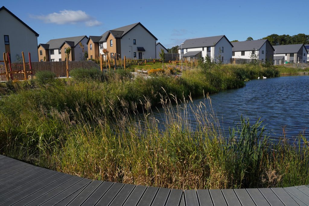
It is anticipated that surface water runoff will travel through the development via a network of swales (a shallow linear depression) and traditional pipework before reaching holding ponds at strategically located low points within the site.
These holding ponds or attenuation basins will be sized to accommodate water from a 1 in 100 year rainfall event (a rainfall event which has a 1% probability of occurring in any given year). The capacity of the basins also includes an additional 40% allowance for climate change. The basins will store water and ensure that it is released into the existing watercourse network at the same rate as the current agricultural use.
A new local centre is proposed in order to deliver small community amenities as well as providing a community hub within the development.
Benefits
- A minimum of 40 zero carbon ‘in use’ homes
- 100% affordable homes
- Two storeys in height/three storeys on Harewood Road only
- Around 16 one-bedroom apartments
- Around 25 two-bedroom apartments
- Community garden
- Around 30 on-site car parking spaces
- Around three on-site accessible car parking space
- Access to main parking area from Harewood Road only
- No through road at eastern end of Carisbrook Road
- Electric vehicle charging points
- A minimum of 40 secure cycle parking spaces
- Refuse and recycling area
- Potential bus stop for an electric bus
-
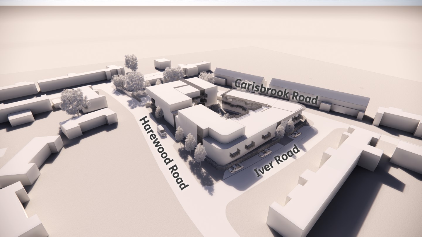
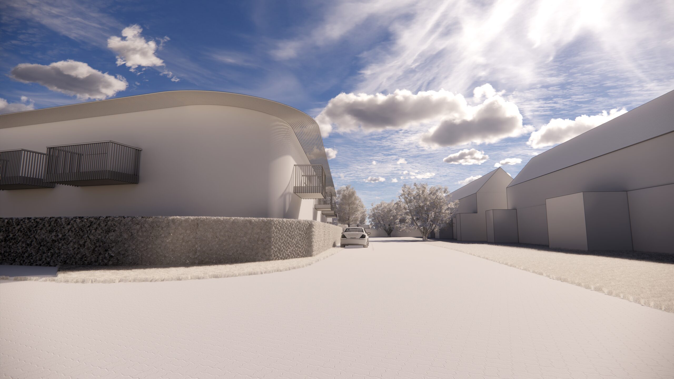
View to Harewood Road
-
View to Carisbrook Road
-

View to Courtyard